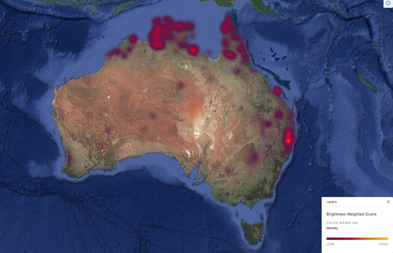
This project is important as it bridges the gap between wildfire management and data studies. It challenges the assumption that data-driven emergency response behavior is entirely neutral and unbiased. Current studies often treat satellite data as a simple tool to increase the speed of emergency response; however, this study provides a counter perspective that the abstraction of live wildfires into simplified metrics creates data blind spots that systematically marginalize certain communities.
Thus, it is evident that technology actively dictates wildfire behavior and influences the prioritization of emergency response. This research connects to larger global questions regarding the usage of technology to make decisions and the ethics of climate adaptation.
Ultimately, we are working on the intersection between human decision-making, satellite data abstraction, and resource allocation in wildfire management because we want to find out how simplifying wildfires into digital data influences decisions during crisis so that we can help others understand how data-driven emergency response more so reflects human values and how it dictates who or what receives assistance during ecological disasters.